Topics: Java Blog
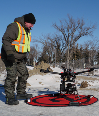
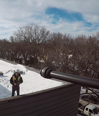
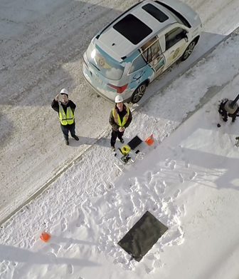
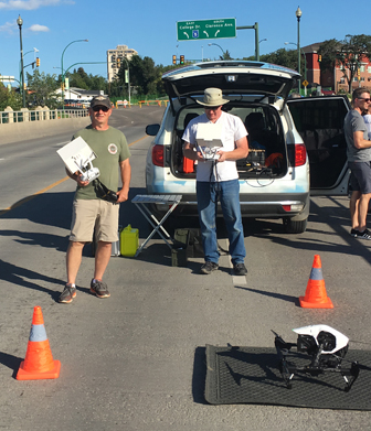
Java Post Production and Java Post Aerial Photography were pleased to work with the Phoenix Group to create the 2017 television and web campaign for Tourism Saskatchewan. The campaign consists of a 60-second commercial (seen here) as well as a 30-second version and several 15-second pre-roll versions for the web. Here are a few behind-the-scenes photos of our crew working on shots of kayaks on a…
+ Full Post